 NGDC for Kenya
Imagery base maps earth cover
Type of resources
Topics
Keywords
Contact for the resource
Provided by
Formats
Update frequencies
status
Scale
-
-
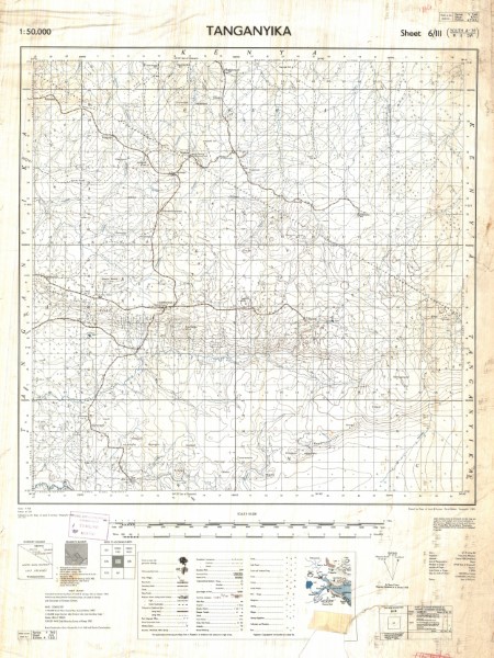
Y 742 Sheet 6 III
-
SK 80
-
VOL.135
-
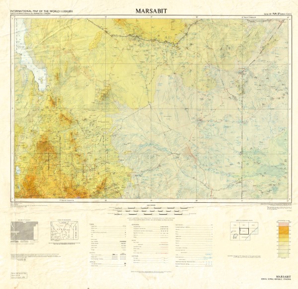
Single map sheet from the 1301 topographic map series. This is currenly the only map from this series held by the Geodata Centre. Map was prepared by the British Government's Ministry of Overseas Development (Directorate of Overseas Surveys) under the Special Commonwealth African Assistance Plan 1969.
-
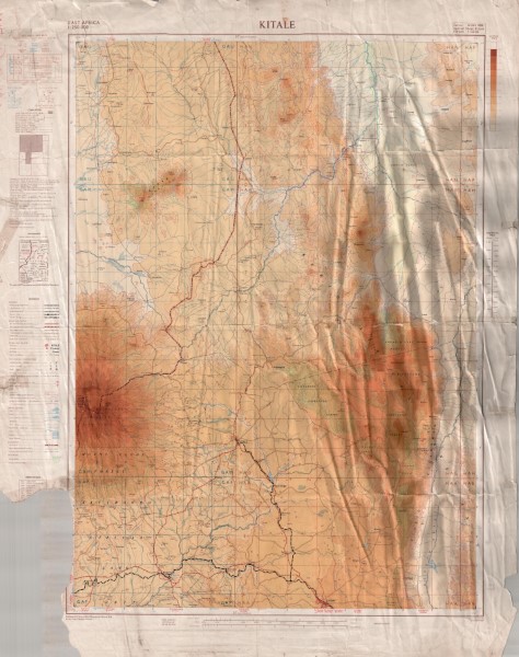
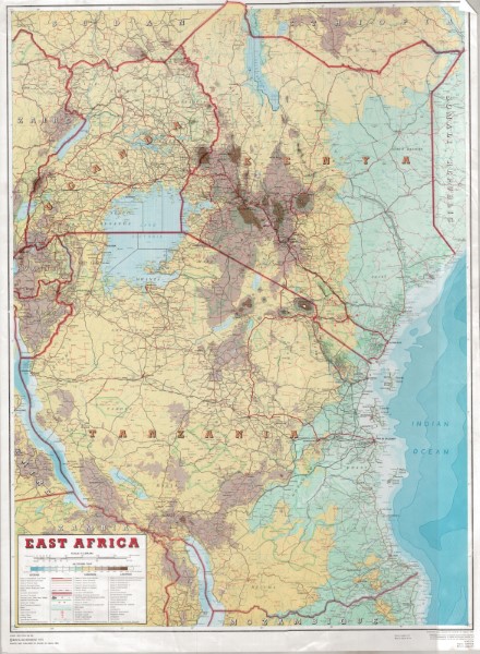
Topographic map at 1: 250 000 scale which has been compiled from a series of exisiting maps. These include GSGS 4786 and GSGS 4787 (1: 50 000 scale), Mbale District, Survey of Kenya (1: 250 000 scale) Block 63 Kalossia and Block 76 Taiti (1: 125 000 scale) GSGS 3999 (1: 250 000 scale).
-
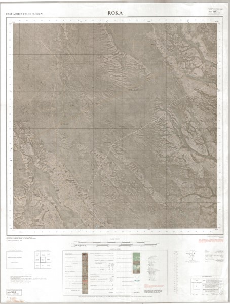
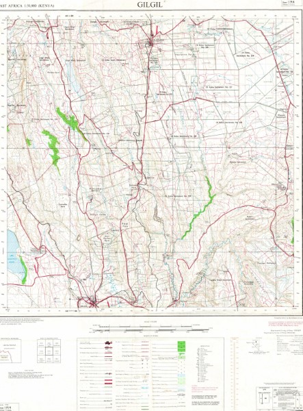
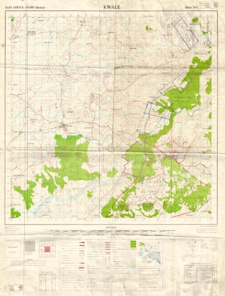
Y731 (1: 50 000 scale) Topographic Maps represents the main 1: 50 000 scale mapping covering large parts of Kenya. The maps illustrate the key topographic features both natural and man made. There have been multiple versions of the maps published. Not all versions of the maps are held by the Geodata Centre. Those which are currently held (November 2018) are listed. Publishers OSD Government of the United Kingdom (Crown Copyright); OSD(K) Government of the United Kingdom for the Government of Kenya; OSD(T) Government of the United Kingdom for the Government of Tanzania; OSD(U) Government of the United Kingdom; USD Department of Land and Surveys Uganda; ING French National Geographic Institute for the Government of Kenya; JICA Japan International Co-operation Agency for the Government of Kenya.
-
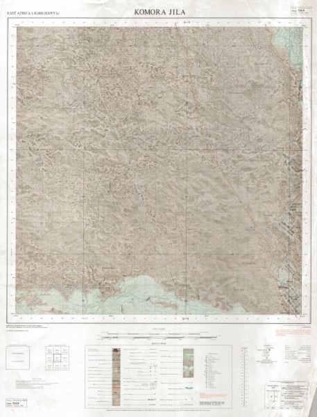
Y731 (1: 50 000 scale) Topographic Maps represents the main 1: 50 000 scale mapping covering large parts of Kenya. The maps illustrate the key topographic features both natural and man made. There have been multiple versions of the maps published. Not all versions of the maps are held by the Geodata Centre. Those which are currently held (November 2018) are listed. Publishers OSD Government of the United Kingdom (Crown Copyright); OSD(K) Government of the United Kingdom for the Government of Kenya; OSD(T) Government of the United Kingdom for the Government of Tanzania; OSD(U) Government of the United Kingdom; USD Department of Land and Surveys Uganda; ING French National Geographic Institute for the Government of Kenya; JICA Japan International Co-operation Agency for the Government of Kenya.